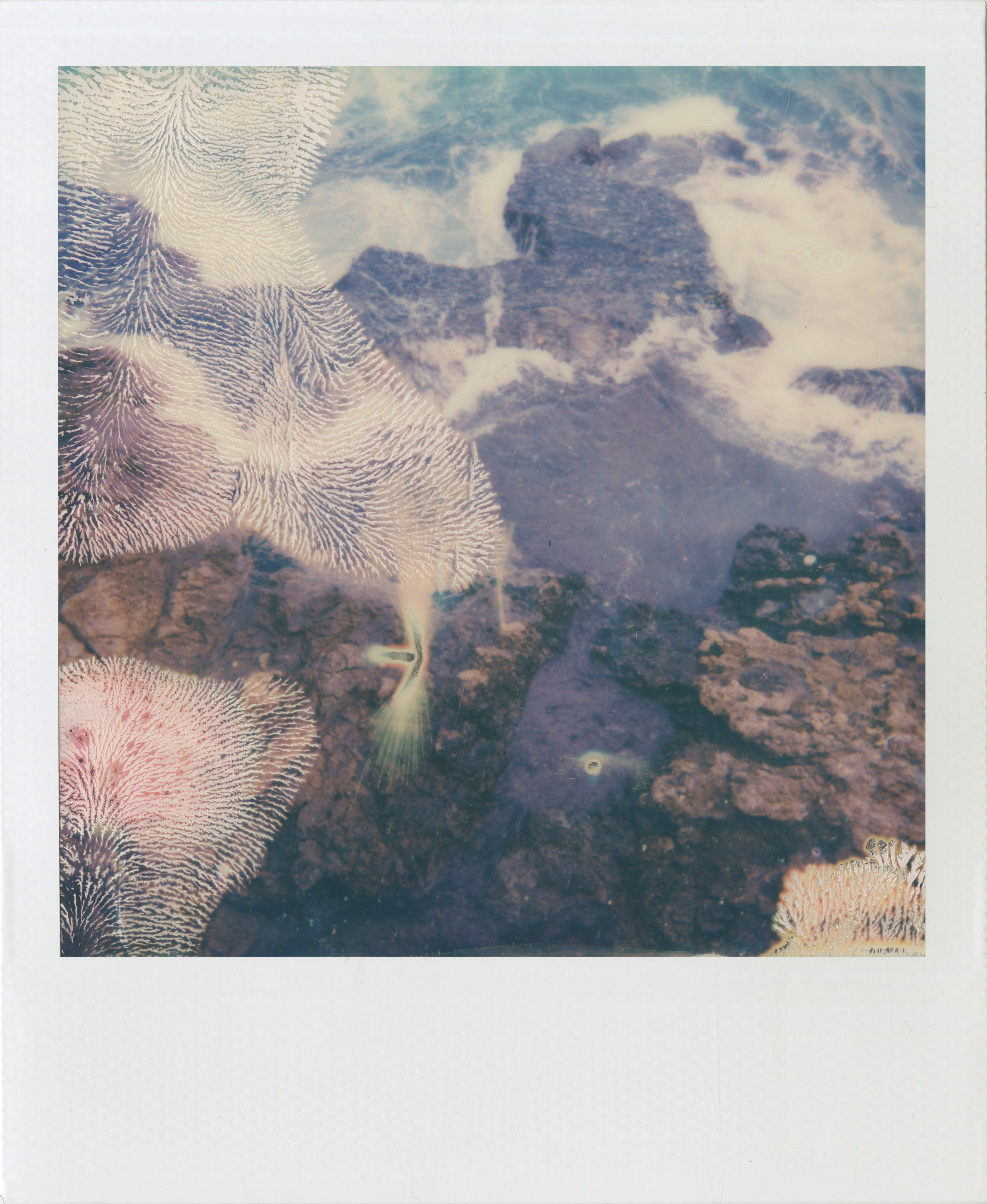
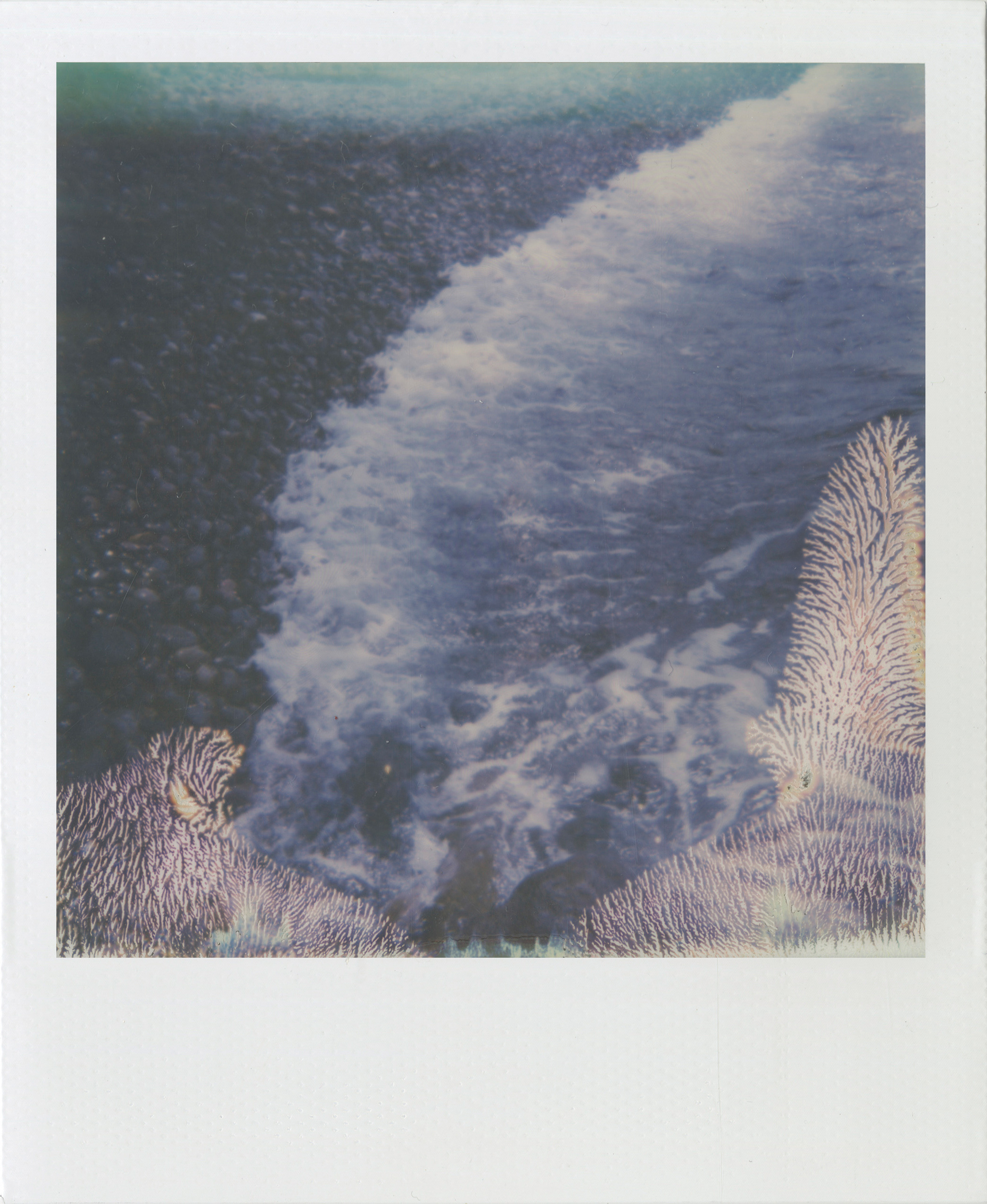
34.5531° N, 18.0480° E
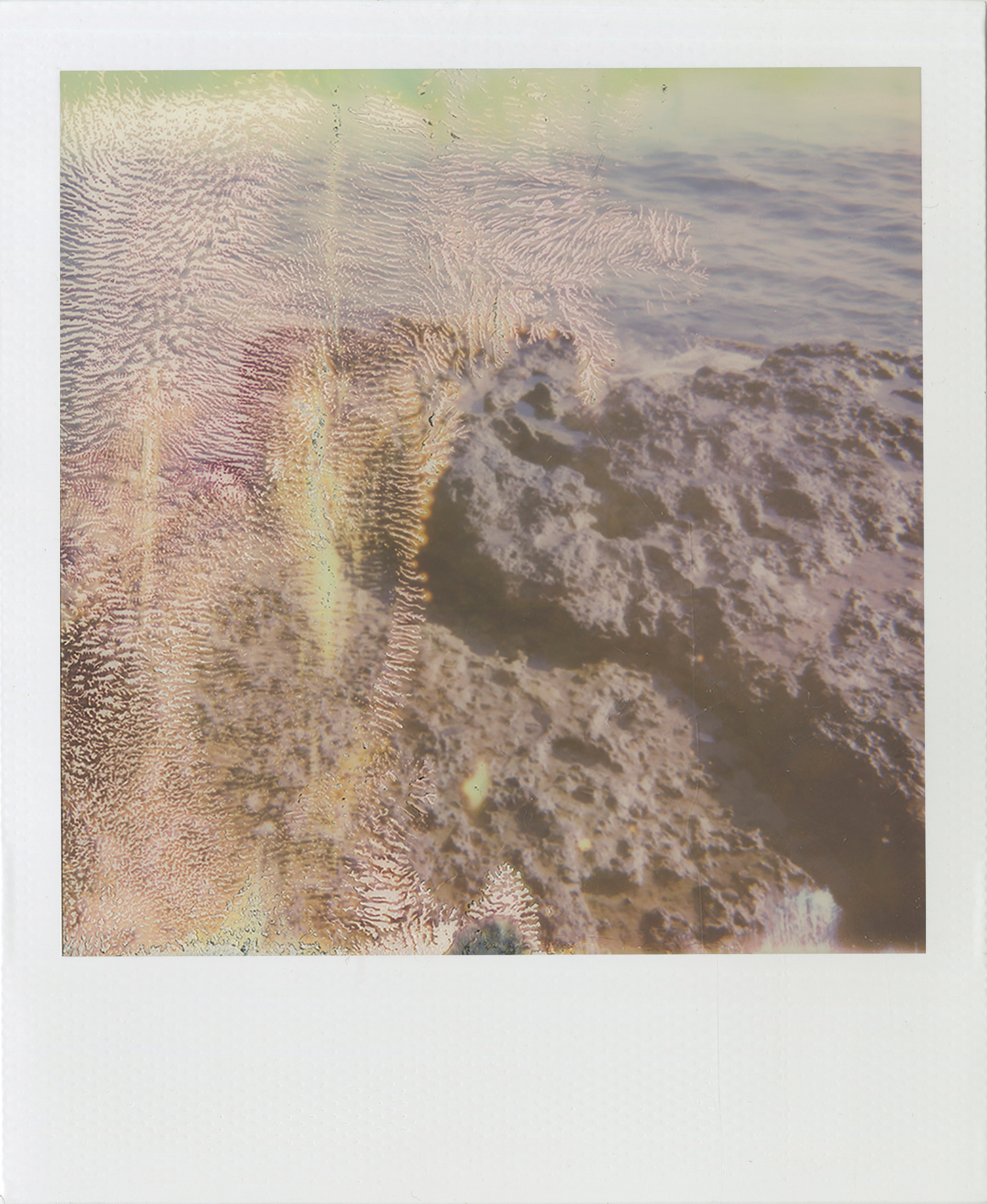
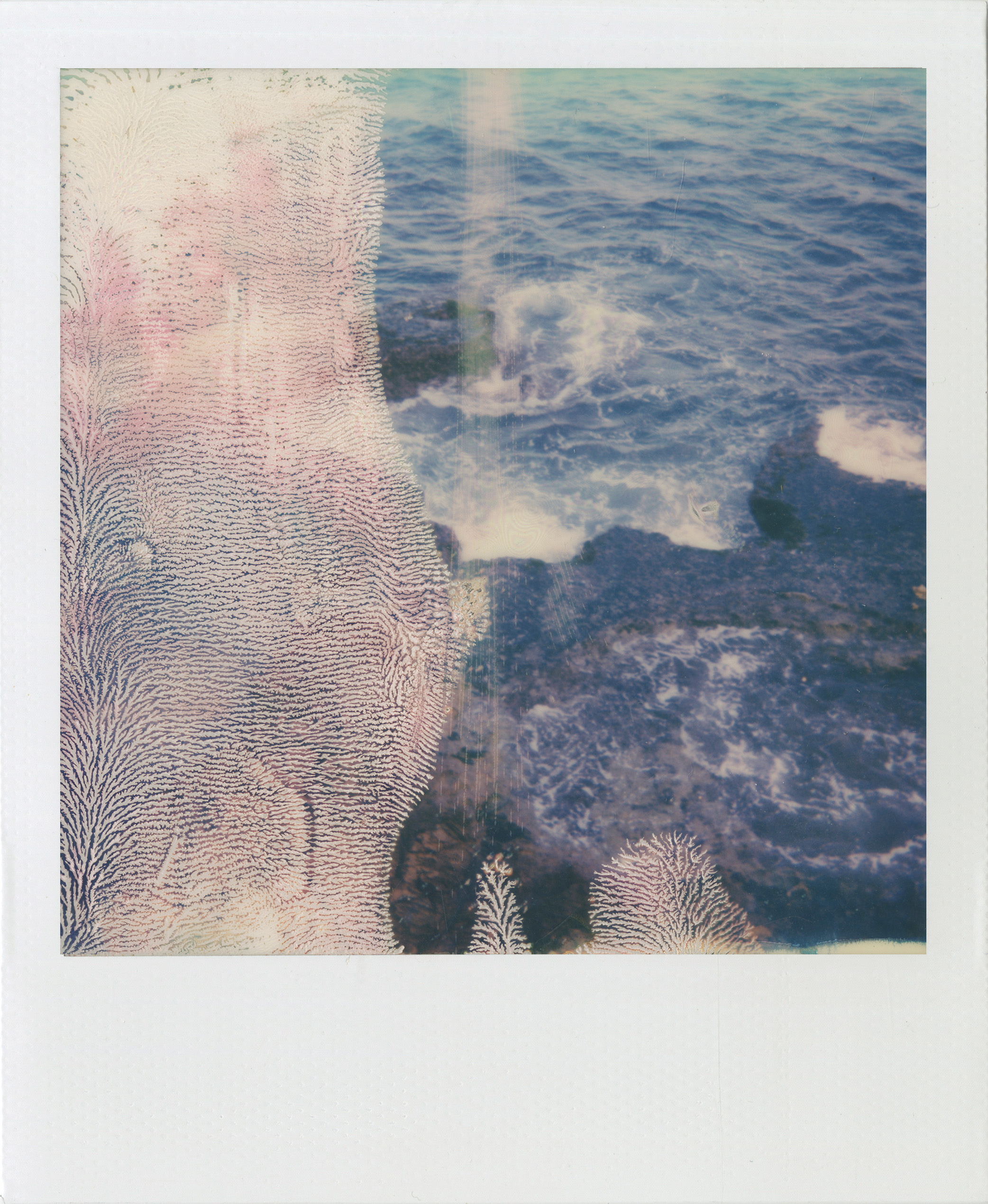
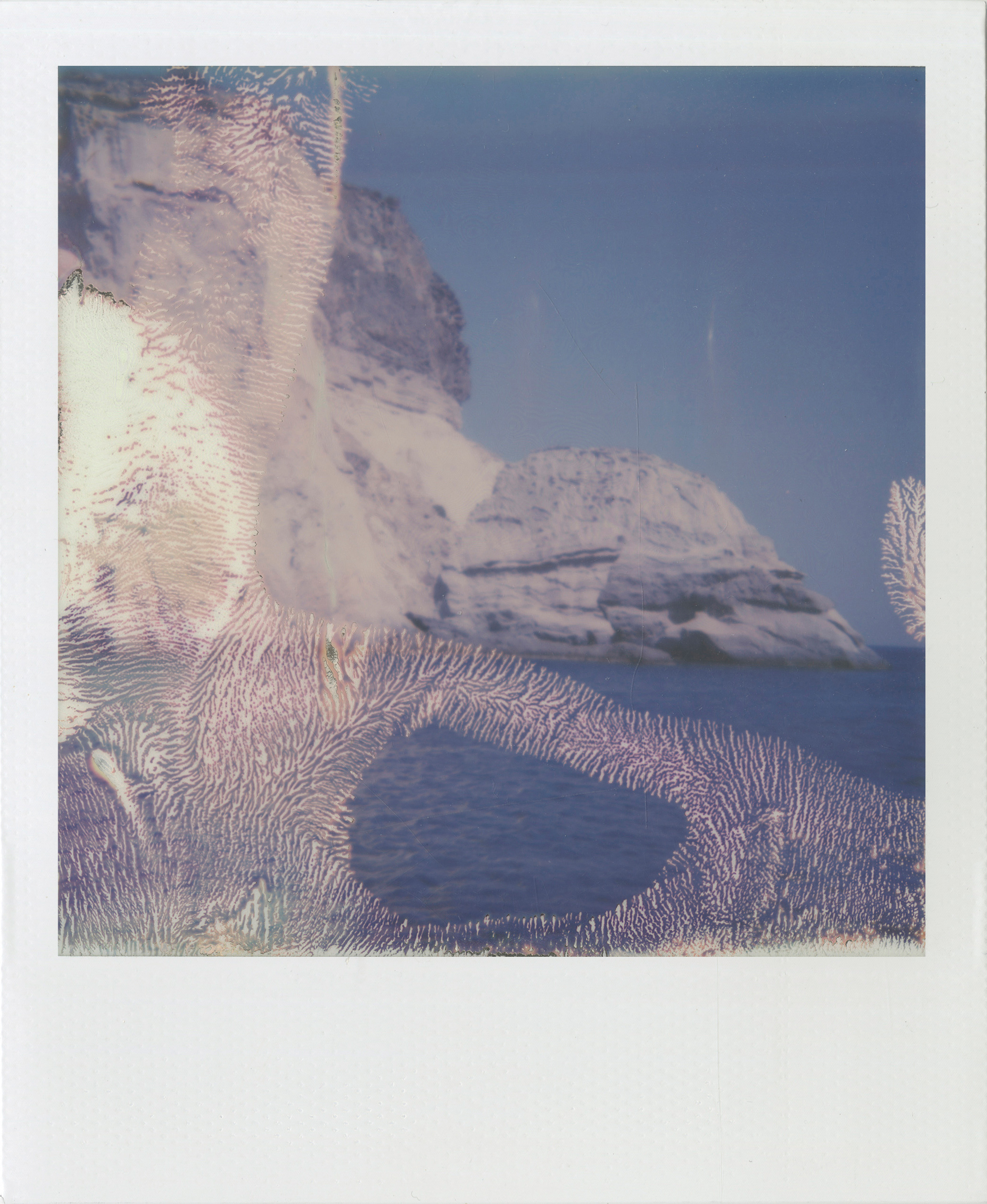
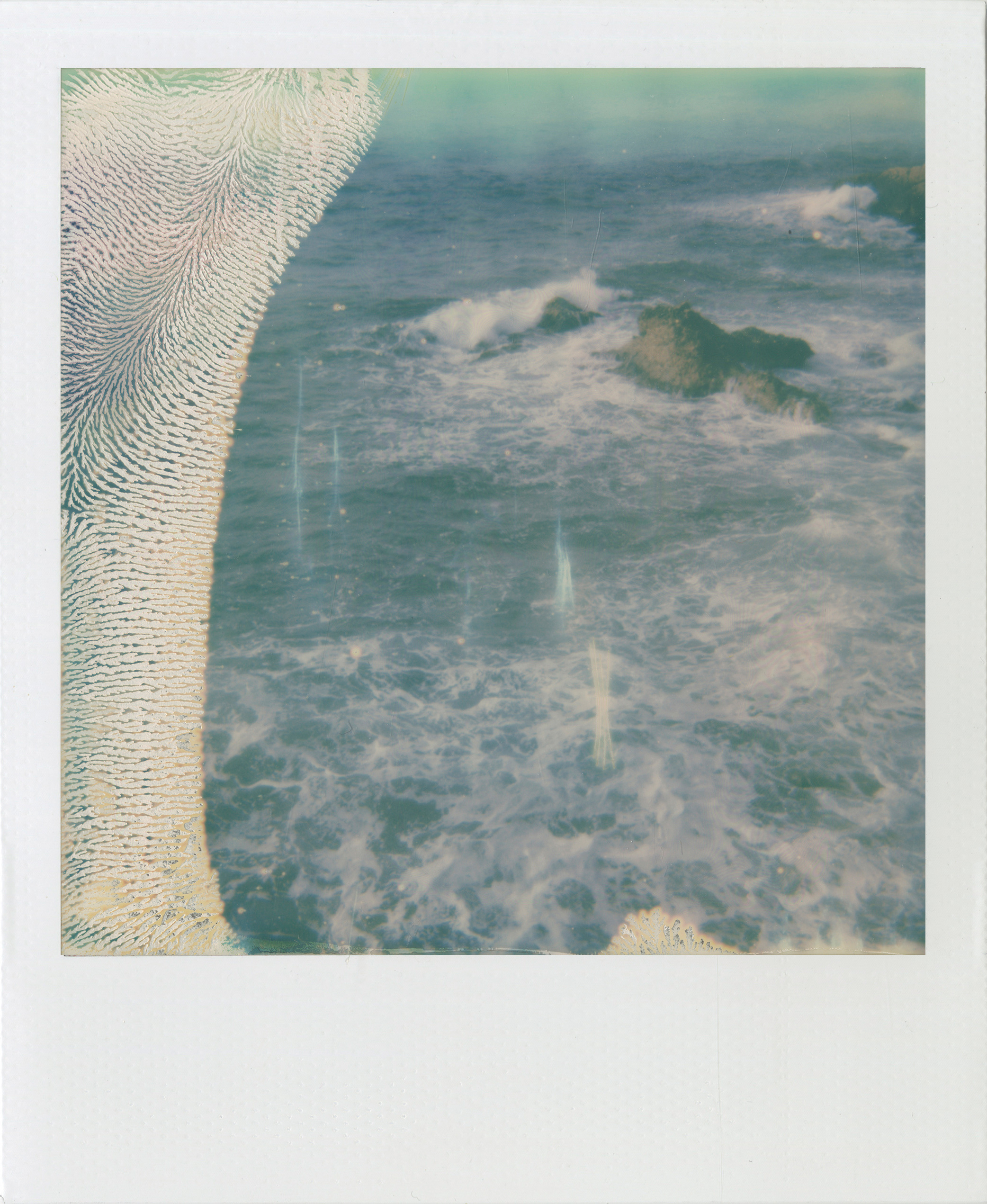
is an ongoing project started in 2016 in which the Mediterranean Sea takes center stage. Named after the sea’s coordinates, this body of work consists of Polaroids made along Southern European and West Asian coastlines.
Bordered by over 20 countries, the Mediterranean is commonly perceived as a place of recreation and leisure. Of late, the sea has become the only viable route to safer shores for the many refugees fleeing war zones aboard hazardous over-packed rubber boats. In many cases, these boats never make it safely to their destination resulting in dozens of deaths at a time. For those who survive, the Mediterranean represents the stage of a perilous journey. For many others, it is a final resting place. The medium chosen to photograph these shores is quintessential to the work. Polaroids by definition do not produce photographs over which one has much control. To photograph the sea with Polaroids means to embrace the unpredictability of the medium, as well as the pictured subject—a large body of water that ebbs and flows beyond the limits of human control. Each photograph was deliberately damaged during the first 30 seconds of its development producing distorted landscapes. Devoid of any human presence, these photographs depict the sea as a somber place.